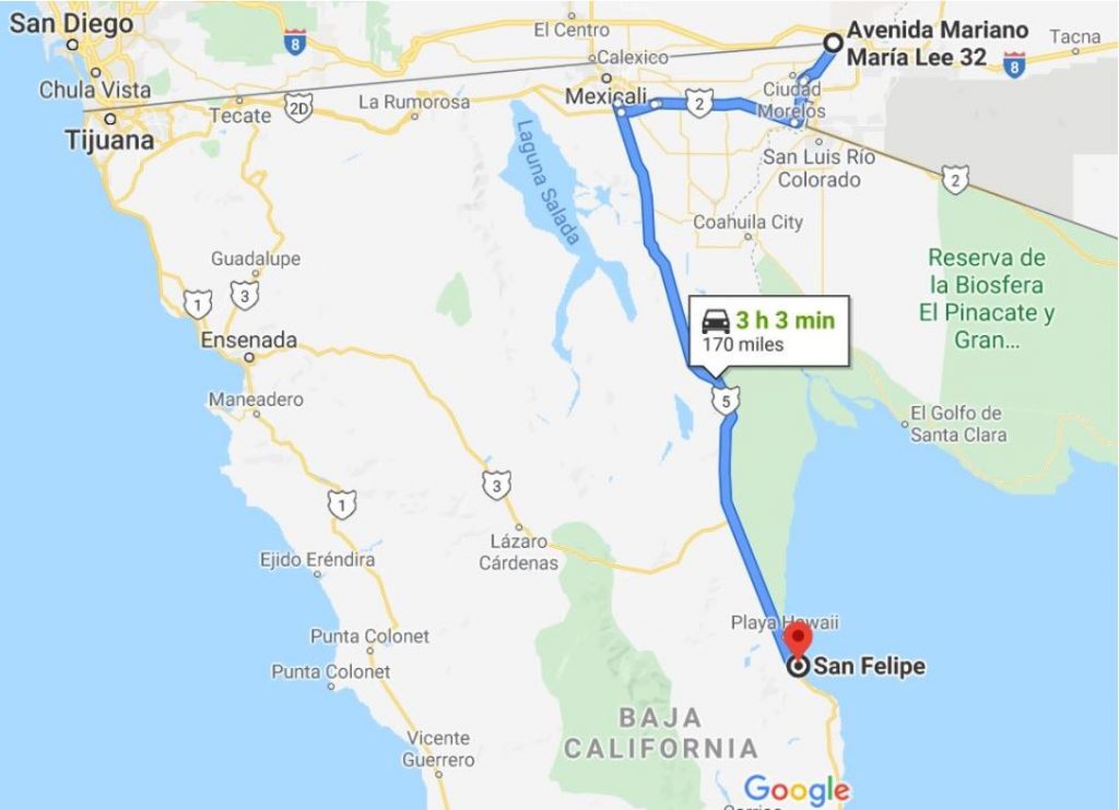
We’ve crossed the border into Mexico at Los Algodones twice. Each time we’ve taken the same route to get to San Felipe.
- It’s a trip of about 170 miles from the crossing to San Felipe city center. We’ve easily made this drive in under three and a half hours.
- This route includes a toll road. As of May 11, 2020 the fee for a passenger vehicle was 26 pesos, which is about $1.20 USD – by taking this you avoid driving through some of Mexicali (slower).
- You will go through one military checkpoint at a place called El Chinero. It’s about 139 miles into this route. It’ll be just after you go by the highway intersection of 5 & 3 (which goes to Ensenada).
- 99% of this route is paved and it’s mostly good road.
Here’s the entire map view of the route. You can locate this map at https://bit.ly/2U3aGRs
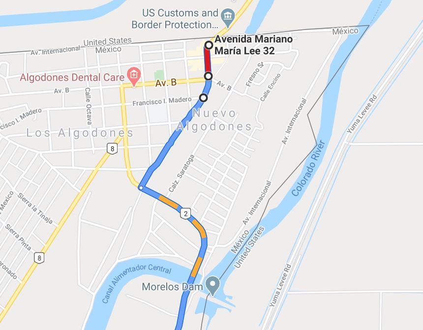
Below…close up view of going through town (Los Algodones).
Detailed Directions:
- After you drive through the border crossing you can keep straight on the road in front of you. This will take you through town (be careful of stop signs (ALTOS) & topes (humps of various sizes, not always marked…a Mexican speed bump). You’ll finally come to an intersection with a paved road. This is BC2. You should turn LEFT (to the southeast). This will take you over the Morelos Dam which crosses the Colorado River. Keep going. This part of the road runs parallel to the river. It’s narrow. There are potholes. The sides can drop off steeply and are quite treacherous. No shoulder. You’ll pass through the little community of Ejido Pachuca and other residential areas.
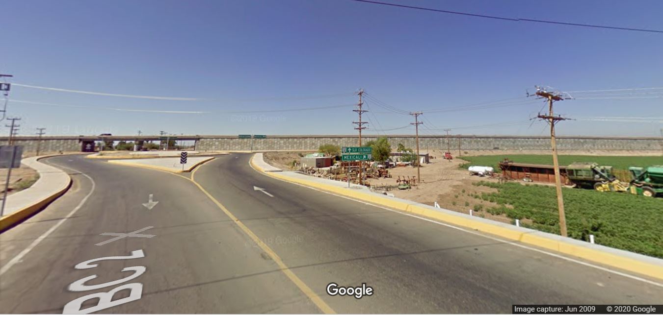
- About 18 miles from the border crossing you’ll come to the intersection to get onto the four-lane Federal highway 2. There’s a sign saying “Mexicali”. Go RIGHT (northwest) onto the four lane. Picture below is from Google…shows the turn.
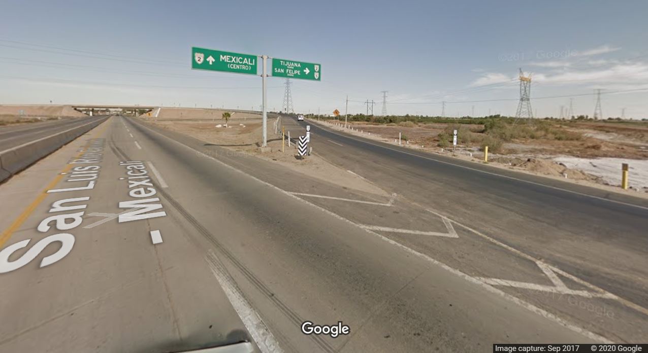
- At about 44 miles from the border crossing, you will come to the offramp for the toll road – 2D. This is about 26 miles from your last turn onto the four laner. The sign says Tijuana/San Felipe. The picture below shows the off-ramp to the toll road & the sign.
- After about 7 miles on this toll road you’ll arrive at the off-ramp to get on highway 5 (which takes you to San Felipe). This is where you’ll stop and pay your toll. After the toll booth you’ll need to turn RIGHT (to the north). You can’t turn south here because the highway is split by a concrete median. Instead you have to drive north for a short distance and then flip a U-turn to get going SOUTH. Once you’ve turned southbound, you stay on Hwy 5 until you get to San Felipe. About 114 miles from where you get on Hwy 5. Pictured below…the ramp off the toll road to get onto Hwy 5.

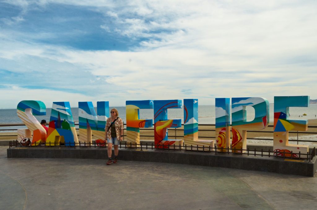
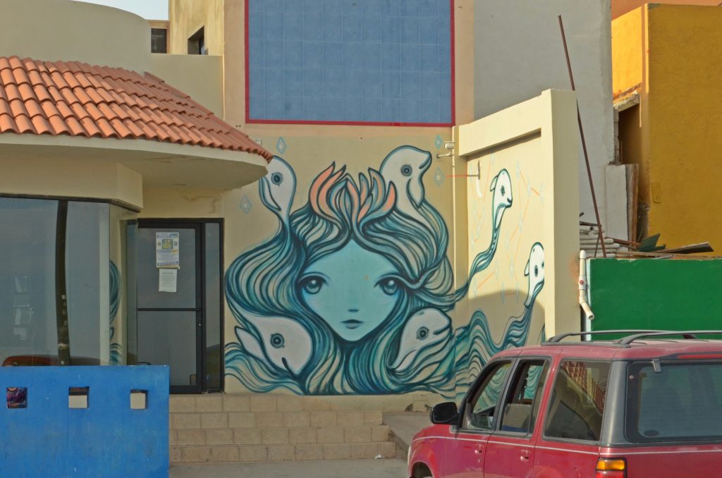
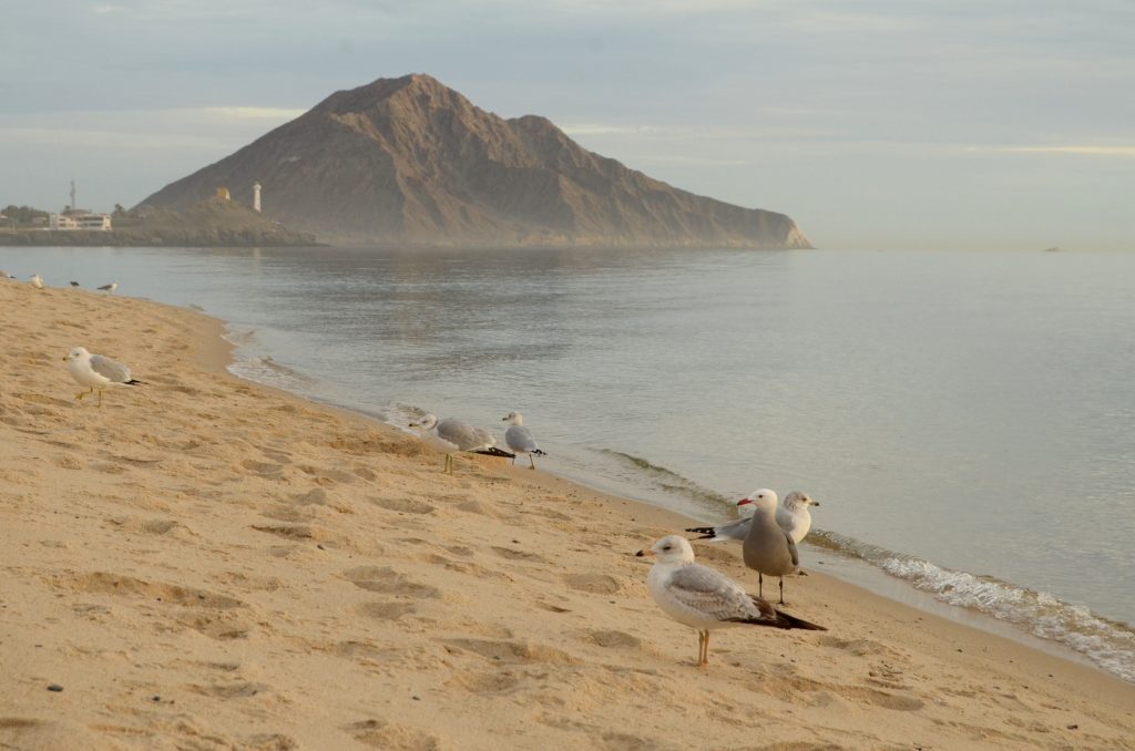
Each time we’ve crossed the border into & out of Mexico taking this route, we’ve made our first and last stop in San Felipe. It’s a good spot to take a break before either heading further south or crossing back into the USA. In addition to stocking up on supplies, getting pesos at the bank, and filling up our fuel tank, we enjoy the beautiful beach and Malecon.
There are many places to stay either in an RV or hotel. We stay at Victor’s which is on the south end of town, directly on the beach. Here’s a link to their Facebook page.